Off road mapping websites

arnie1000
Posts: 22
I am fairly new to MTB and have just purchased my first moutain bike (been a roady for a few years and just picked up a Kona Cinder Cone 2012). So therefore the trails, bridleways and byways are a bit unknown to me.
Is there a good mapping website you can used to see and plot off road routes, which are suitable for MTBers (i.e Bridleways / byways and not footpaths), that I can then upload to my Garmin 800 and follow round whilst I get to learn more about off roading in my local area?
Cheers
Is there a good mapping website you can used to see and plot off road routes, which are suitable for MTBers (i.e Bridleways / byways and not footpaths), that I can then upload to my Garmin 800 and follow round whilst I get to learn more about off roading in my local area?
Cheers
0
Comments
-
I use http://www.streetmap.co.uk as it's the only site I know of that shows you the OS 1:25000 scale maps (select zoom level 3). At this level of detail they not only show more tracks, byways and paths (offical and permitted), than most maps, but also show field boundaries, so you can have an educated guess if you're going to come across lots of gates/styles, etc.
Like this:
Also very useful, though, and well-worth the money, is the physical paper map at the same scale (called the "Explorer" range - see here) - having the map spread out lets you find areas worth exploring much more easily, as you have a far bigger field of view than you can achieve with a computer screen.0 -
You can see OS 1:25000 scale maps on bing, and plan route. Its better than streetmaps cos you can seemore of the map. eg: http://binged.it/TtKeJf0
-
Not sure about uploading to garmin, but you can use Bikehike, which has a nice split view between google maps, and the OS maps.
You can plot a ride, then save as one of the following files:
tcx
txt
kml
gpx (route or track)
gpxx (route)
http://www.bikehike.co.uk/mapview.php0 -
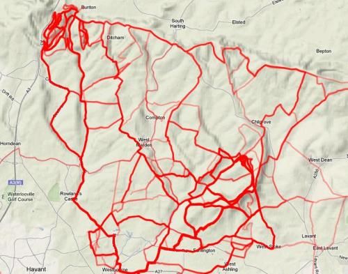
I use Strava and the Strava Multiple Ride Mapper... Strava lets you find local 'segments' (so maybe a really nice climb or a bit of bridleway) and then using the segment id the Multiple Ride Mapper will show you all the rides on Strava that have ever been through that segment. You can also pick up a rider id and see everywhere that rider has ever been. It's a pretty good way of finding new trails when used in conjunction with the OS mapping on Bing.
 Vitus Sentier VR+ (2018) GT Grade AL 105 (2016)
Giant Anthem X4 (2010) GT Avalanche 1.0 (2010)
Kingley Vale and QECP Trail Collective - QECP Trail Building0 -
Have a look in Rides, find people nearby and go with them. Much easier.I don't do smileys.
There is no secret ingredient - Kung Fu Panda
London Calling on Facebook
Parktools0 -
Bing maps is pretty full featured, I made a post about how to use it some time ago here...
viewtopic.php?p=171434570 -
Www.mtbtrails.info has lots of existing routes and a nice interface for plotting your own route on OS and Google maps simultaneously.0
-
Cat With No Tail wrote:Not sure about uploading to garmin, but you can use Bikehike, which has a nice split view between google maps, and the OS maps.
You can plot a ride, then save as one of the following files:
tcx
txt
kml
gpx (route or track)
gpxx (route)
http://www.bikehike.co.uk/mapview.php
This is what I use, you can also switch the main map to "OSM Cycle" which is the open street maps, and in options choose routing for bicycles, and it will auto route between points, then just choose download route, and choose the option to upload straight to your GPS unit (or save on PC for later date)Bikes:
Cannondale Killer V 1995 (Promo model) - My first Race bike now converted to a commuter
Lapierre X-Flow 712 - XC fs rocket
Pivot Mach 6 - Enduro Machine
Pinarello FP2 - Roadie0 -
Just tried that now, and the mapping detail is woeful around here. the OS view doesn't get detailed enough, and the OSM still lacks some significant roads and such that can be used to link up sections of trail.balmybaldwin wrote:Cat With No Tail wrote:Not sure about uploading to garmin, but you can use Bikehike, which has a nice split view between google maps, and the OS maps.
You can plot a ride, then save as one of the following files:
tcx
txt
kml
gpx (route or track)
gpxx (route)
http://www.bikehike.co.uk/mapview.php
This is what I use, you can also switch the main map to "OSM Cycle" which is the open street maps, and in options choose routing for bicycles, and it will auto route between points, then just choose download route, and choose the option to upload straight to your GPS unit (or save on PC for later date)
Useless, sadly.0