GPS tracking for 3 months

flubbub
Posts: 115
Hiya guys,
I'm planning on doing a 3 or 4 month tour of Europe with a friend in the summer, and I would really like to use a GPS watch/bike computer to download the trace of where we have been.
How can I do this? Most GPS devices seem to need charging after 20hs max, which is nothing (compared to what we plan on doing).
I was just wondering whether there is a GPS bike computer which charges itself whilst cycling? Or a way in which i could charge it constantly?
Thanks in advance!
Ben
*if I'm being thick, do tell me")
I'm planning on doing a 3 or 4 month tour of Europe with a friend in the summer, and I would really like to use a GPS watch/bike computer to download the trace of where we have been.
How can I do this? Most GPS devices seem to need charging after 20hs max, which is nothing (compared to what we plan on doing).
I was just wondering whether there is a GPS bike computer which charges itself whilst cycling? Or a way in which i could charge it constantly?
Thanks in advance!
Ben
*if I'm being thick, do tell me
0
Comments
-
I use one of these on my bike

does all the usual bike computer functions, records tracks etc, and runs on 2x AA batteries0 -
So when you replace the batteries, I'm guessing it doesn't loose your place/past info?0
-
You can also just use a regular bike GPS and an external power supply that will keep it fully charged, there are numerous ones available.Jibbering Sports Stuff: http://jibbering.com/sports/0
-
The good thing about the etrex from your point of view is that it automatically saves a daily log of where it has travelled as a gpx file. No thinking or setting required other than to ensure that in the system settings data is saved to an add on micro sd card, otherwise new log files will overwrite old log files when the garmin internal memory is full. A typical gpx file is in the region of 100-200kb, that is a lot of log files on a 2gb micro sd card.flubbub wrote:Hiya guys,
I'm planning on doing a 3 or 4 month tour of Europe with a friend in the summer, and I would really like to use a GPS watch/bike computer to download the trace of where we have been.
How can I do this? Most GPS devices seem to need charging after 20hs max, which is nothing (compared to what we plan on doing).
I was just wondering whether there is a GPS bike computer which charges itself whilst cycling? Or a way in which i could charge it constantly?
Thanks in advance!
Ben
*if I'm being thick, do tell me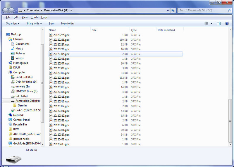 0
0 -
I'd second the advice to get an eTrex - although you might be better off getting the more recent eTrex 20. Make sure the GPS has a slot for memory cards.
A recharger for AA batteries is very light and a pair will last a couple of days so there's no need to buy disposables.
If/when you get you GPS set it so it saves the tracks to the memory card. Also set the trackpoint interval to something like 1 to every 100 metres. SDHC cards are very cheap but there's no point creating unnecessarily big files IME 75kbs for 100kms is fine ((at least for on-road tracks).
I would get into the habit of saving the track at the end of each day - that way you avoid a hodgepodge of confusingly-named files.0 -
andymiller wrote:I'd second the advice to get an eTrex - although you might be better off getting the more recent eTrex 20. Make sure the GPS has a slot for memory cards.
A recharger for AA batteries is very light and a pair will last a couple of days so there's no need to buy disposables.
If/when you get you GPS set it so it saves the tracks to the memory card. Also set the trackpoint interval to something like 1 to every 100 metres. SDHC cards are very cheap but there's no point creating unnecessarily big files IME 75kbs for 100kms is fine ((at least for on-road tracks).
I would get into the habit of saving the track at the end of each day - that way you avoid a hodgepodge of confusingly-named files.
i would actually advise against manually saving the tracks at the end of the day, let the etrex do it automatically.
See the pdf file here for the difference between the two
https://skydrive.live.com/redir.aspx?cid=14e63569516028e4&resid=14E63569516028E4!486&parid=root0 -
So with an eTrex could I (after the tour) see where we have been on a map?
I'm not a bike computer techie :oops:0 -
yes0
-
But with a Garmin 500 or 800 or 705 and a Duracell PPS1, you get all the same AA power capabilities, only you get the bike specific stuff on the garmin - including routing for the tour, the unit is smaller and the handlebar mounts much better. If the only reason to get the etrex is the AA batteries, taping a pps1 to your 500 will do more.Jibbering Sports Stuff: http://jibbering.com/sports/0
-
jibberjim wrote:But with a Garmin 500 or 800 or 705 and a Duracell PPS1, you get all the same AA power capabilities, only you get the bike specific stuff on the garmin - including routing for the tour, the unit is smaller and the handlebar mounts much better. If the only reason to get the etrex is the AA batteries, taping a pps1 to your 500 will do more.
The etrex does routing and tracks, additionally it has a proper compass
Most importantly it automatically saves a daily log.
I do not think the edge series have this feature, if they do I have not found it yet
No need to start the timer, no resetting the lap thing.0 -
jibberjim wrote:But with a Garmin 500 or 800 or 705 and a Duracell PPS1, you get all the same AA power capabilities, only you get the bike specific stuff on the garmin - including routing for the tour, the unit is smaller and the handlebar mounts much better. If the only reason to get the etrex is the AA batteries, taping a pps1 to your 500 will do more.
The bike-specific' units may be great as training aids but for the touring cyclist they have less to offer than the eTrexes (for example the Garmin 800 has a limit of 200 waypoints which is fine for day rides and short tours but a major potential limitation for a touring cyclist). The 800 specification don't give any information about the number of saved tracks that you can store on the unit or the maximum number of trackpoints per track - again something that could well be important to touring cyclists. The eTrex 20 also has lots more internal memory than the 800.
The eTrex units also do routing. So far as I can see from the owner's manual the 800 has has similar settings to the eTrex so I assume it uses the same algorithms for routing.
The 800 and similar units cost a lot more than the eTrexes - if you need/want the training features you might decide that that was money well spent but for touring only it's difficult to justify spending the extra money.freezing77 wrote:i would actually advise against manually saving the tracks at the end of the day, let the etrex do it automatically.
See the pdf file here for the difference between the two
A good point - although for me most of that extra information is of no interest, and if the altitude profile is important then I tend not to rely on figures from the unit itself, but replace them with the altitude figures referenced against the map (eg using the conversion utility on gpsies.com).
The advantage of saving tracks as you go is that you have a set of gpx files with one for each day with a simple logical name - so you aren't dependent on Basecamp to sort them out - so it's a little bit 6 of one and half a dozen of the other.
EDIT: setting up my new eTrex 20 I noticed that it has a facility to automatically archive the day's tracks - and the archived file includes time and elevation information.0 -
freezing77 wrote:The etrex does routing and tracks, additionally it has a proper compass
I know, I've owned an etrex, the compass was a PITA having to recalibrate it everytime I wanted to use it it seemed, I've never needed a compass on a road system though when I have a map. The waypoint limitation isn't really a limitation at all, since you don't navigate by waypoints on a road, you navigate by addresses, and the city navigator or other basemaps useable by both have full databases that provide everything you need for that sort of navigation (if you're not going to use tracks for navigation - doesn't the etrex only use the internal memory for tracks which is a bit more limited?)
But yes, the etrex would work fine, so will any of the USB rechargeable one with a cheap 15 quid device for recharging it from AA's. And you'd get all the cycle specific info.Jibbering Sports Stuff: http://jibbering.com/sports/0 -
jibberjim wrote:And you'd get all the cycle specific info.
Can you give any examples?
The only 'cycling-specific' information I can think of is cadence and heart-rate. I'm not sure how many touring cyclists are interested in this information, and even if you are, you could still buy an eTrex, a cycle computer with cadence, and a HRM and save a wodge of cash as compared with a Garmin 800.
An eTrex does everything the OP wants and more besides.0 -
Couple of supplementary questions if I may.
Does that PPS1 put the 705 into recharge mode or can your continue to use it for nav whilst connected up?
How do you get the 705 to default save log files to an sd card rather than internal memory.
Ta.0