Chevin forest Otley
I am planning a ride in and around Chevin Forest nr Otley but struggling to find any decent way of extending the loop i'm planning (9 mile so far). Are there any permissive routes on Ilkley moor/crags that are ok to use? There appears to be some contention in that area with people cycling! :roll:
Many thanks
Many thanks
0
Comments
-
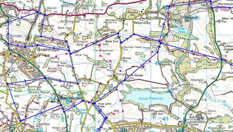
Managed to sort an 11mile route by coming out of the forest, looping round nr the airport and back. Thats a nice testing ride back up the tarmac to the Quarry car park :shock: I wouldn't like to be in there when the weather is nice, the place is full of dog walkers :roll: I'm always a bit wary of dogs off the lead as they think bikes are a very big stick that wants to be chased


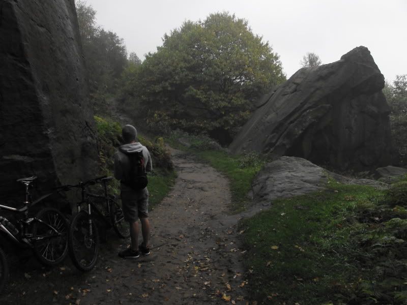
This is the place I saw on a photo online that made me have a look around that area. My son was looking a the big rock and wondering if he could ride it (trials style)
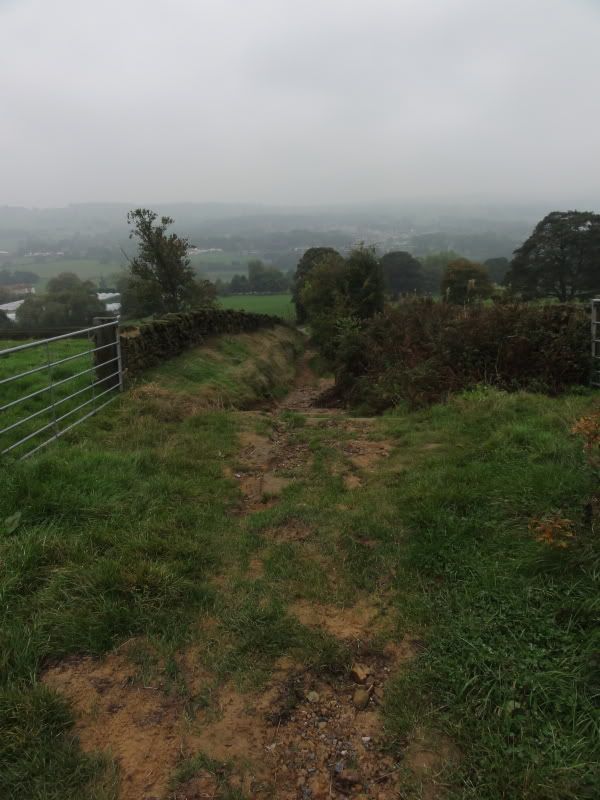
Part way down a nice downhill route 0
0 -
Looks like you had a good time!Wheeze..... Gasp..... Ruddy hills.......0
-
I'm always looking for more woods to ride through and I don't live too far away. What is Chevin Forrest like? Where are you starting from? Is there an obvious 'trail' or are you crashing through trees?
I do a lot of riding through Buck Woods / Dawsons Woods (both in Tahckley)/ Calverley Woods and Spring Woods (Esholt). I normally put them all in a big loop, and maybe finish by climbing over Baildon Moor and down Shipley Glen (about 22 miles in total).0 -
The dales way passes through chevin. You could follow it heading towards leeds and link up with the meanwood valley trail which is suprisingly good fun!0
-
The trails through the wood are very clearly marked and a couple of them are very good
 You can download a map from the Chevin park website (the map is upside down though
  ) Although the length of trails in the wood is short it makes a very nice loop to add into some of the other routes in that area. Planning the Meanwood route next time I am up that way, got that to around 30 mile :roll: legs willing
  0
0 -
Tenchi can you point me in the direction of route details for your Meanwood route please? I live literally next door to Meanwood and only managed to get to Eccup res and back so far! Cheers0
-

Sandybean, not done the route yet still in the planning stage But if you want to ride it and let me know how you get on
  I would advise getting an OS map of the area, invaluable when you are lost and if you do have an accident its important to get people to the right place asap 0
 -
Just ordered OS Explorer Map 297: Lower Wharfdale and Washburn Valley. Cant wait for it to arrive and get out exploring!0
-
I do like my maps
 compass,gps and not forgetting memory map software (still manage to get lost on occassions though
  ) 0
) 0 -
tenchi wrote:I am planning a ride in and around Chevin Forest nr Otley but struggling to find any decent way of extending the loop i'm planning (9 mile so far). Are there any permissive routes on Ilkley moor/crags that are ok to use? There appears to be some contention in that area with people cycling! :roll:
Many thanks
I managed to rack up 16 miles at Otley Chevin today.
Just keep on riding around and take different tracks every lap. Theres a few hours worth of combinations.
I parked by the surprise viewpoint opposite a pub called the Royalty. Theres a few more carparks along East Chevin Road.
The trails are very obvious. The photos on this thread are of the smallest. While some are wide firebreaks several dogs and prams wide. On the west side of the Chevin they are marked as footpaths but I reckon they would be wide enough for cyclists and make an enjoyable decent all the way from the highest point at surprise viewpoint down to the road at the bottom.
I've had no contention others but the woods to the east of East Chevin Road was busy with a lot of dog walkers. Just need to ride with care and consideration.
The only con with Otley Chevin is if you go downhill all the way to the bottom. East Chevin Road is an absolute B*sterd to cycle back up again!!! I spent most of my time on the trails that run east and west, contouring along the side of the hill, the gradient isn't as bad.
P.S.
Talking of maps... I find the OSMapFinder app useful on my iPhone. I think the 1:25k maps are a couple of quid and give you your GPS location."The Prince of Wales is now the King of France" - Calton Kirby0

